Fieldwalking
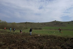
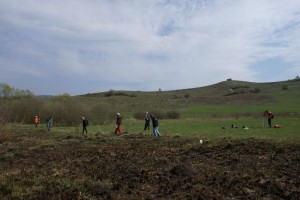
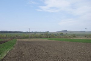
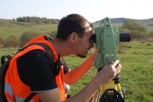
Between the end of April and beginning of May 2014 a large area of the former Roman auxiliary fort and settlement from Călugăreni (Mureș County) has been surveyed by our team, through an intensive and systematic fieldwalking. More than 14.5 hectares were surveyed with the help of modern methods and instruments: the whole area was divided into grids (25 x 25 m) marked with a total station. A significant quantity of pottery and several small finds (different glass vessel fragments, iron tools, weapons, and instruments, iron and metal slag etc.) have been identified during the intensive fieldwork. Their position in the surveyed area was measured precisely with a high precision GPS instrument. Due to the rigorous surveying methods we managed to identify the boundaries of the vicus around the auxiliary fort from Călugăreni and to locate the most intensively inhabited parts of the settlement.


