Category Archives: Progress

Fieldwalks at Sânpaul/Homoródszentpál

DSC_0416

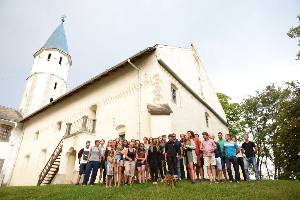
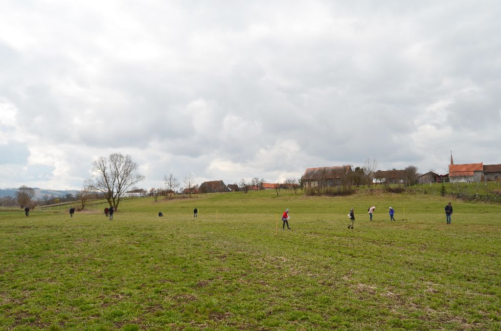
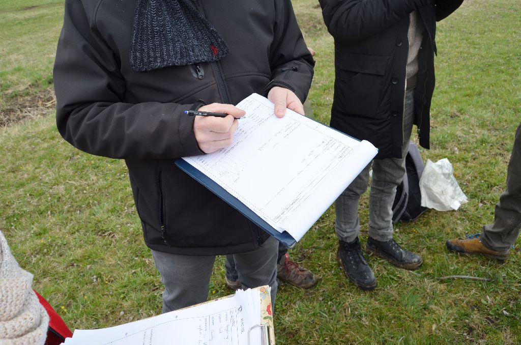
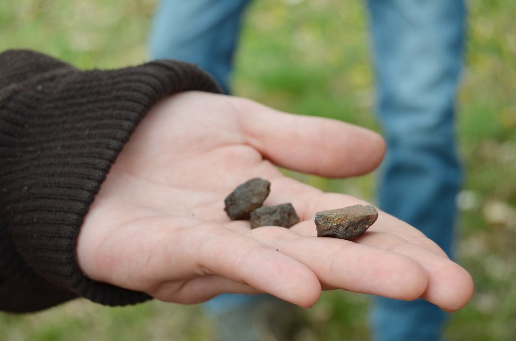
Archaeologists from the Mureș County Museum and students from the Babeș-Bolyai University teamed up for a fieldwalk between the 7th and 10th of April at Sânpaul/Homoródszentpál (Harghita county).

DSC_0409

Today, the limits of the Roman settlement situated here is yet unknown, thus a series of fieldwalks were necessary to gather more information. In addition, this proved to be an excellent chance for the students to gain professional experience.

DSC_0405

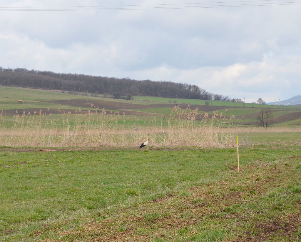
Despite the poor weather conditions, the gardens of several houses, and the fields around the village were searched in these four days, enriching our knowledge about the settlement’s history.

DSC_0394

Field school at the eastern limes of Dacia

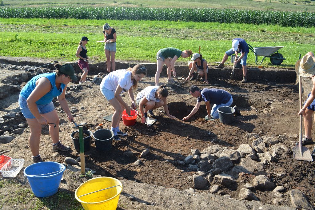
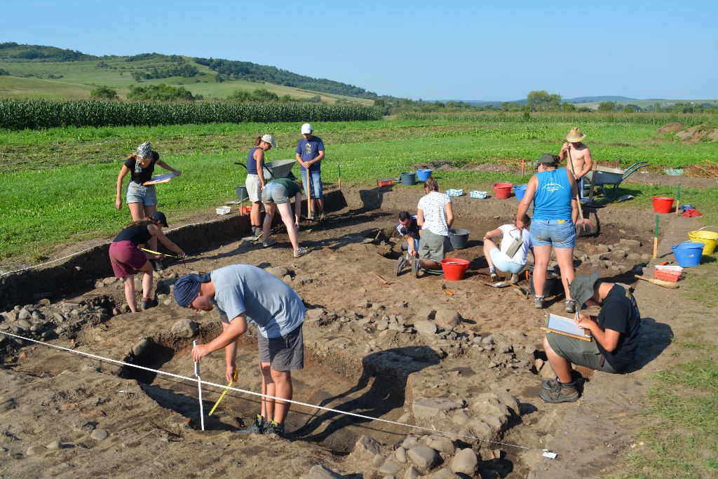
During the last month researchers and students from Romania, Germany and Hungary carried out archaeological excavations in the principia of the Roman fort from Călugăreni and in the vicus belonging to it. In the principia the research focused on the rooms situated in the south-eastern corner, while the trenches from the vicus targeted a waste pit containing a large amount of pottery and a layer which contained objects which relate to cultic activities. During the research of the headquarters building the last phase of usage and the foundations of the corner rooms were discovered. The waste pit from the civilian settlement offered important data related to local pottery production and enriched the repertoire of the 2nd century forms of pottery, unveiling vessels, like snake-pots and incense burners, which allude to cultic activities in the neighboring parts of the vicus. The students, besides having a good time, learned a lot and gained experience.
DSC_0873DSC_0879DSC_7234

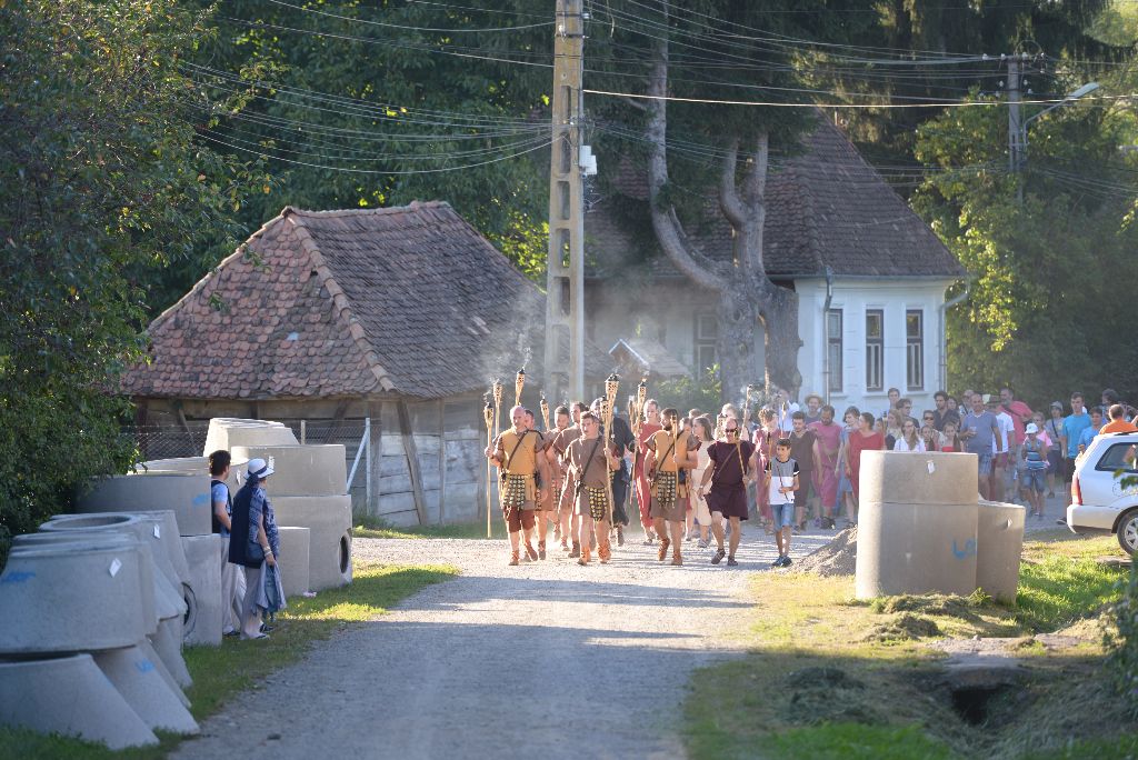
The mood was even more enhanced by the event called 6R Day of Archaeology, which took place on the 11th of August. The visitors had the opportunity to participate at various museum pedagogical activities, presentations and to experience a real archaeological excavation. The day was crowned with the inauguration of a special Bellevue, named Compass, which was created after a project of students from the Budapest University of Technology and Economics.
DSC_6853collage

Fieldwalking

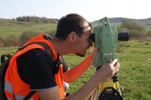
Between the end of April and beginning of May 2014 a large area of the former Roman auxiliary fort and settlement from Călugăreni (Mureș County) has been surveyed by our team, through an intensive and systematic fieldwalking. More than 14.5 hectares were surveyed with the help of modern methods and instruments: the whole area was divided into grids (25 x 25 m) marked with a total station. A significant quantity of pottery and several small finds (different glass vessel fragments, iron tools, weapons, and instruments, iron and metal slag etc.) have been identified during the intensive fieldwork. Their position in the surveyed area was measured precisely with a high precision GPS instrument. Due to the rigorous surveying methods we managed to identify the boundaries of the vicus around the auxiliary fort from Călugăreni and to locate the most intensively inhabited parts of the settlement.

SONY DSC SONY DSC

SONY DSC SONY DSC

A good start

The first stage of the project Digitizing the Roman limes. Sector: Brâncovenești-Sărățeni has been successfully completed. The team has created and tested a complex and up-to-date database that assures the background of our future documentation work and find processing. A very rigorous bibliographical reference collection concerning the research subject and the archaeological sites from the area has been also established.start_sign